


Origin and History of Lake Grapevine, 1919-1953, Part 3: The Trinity River Project Goes To Washington
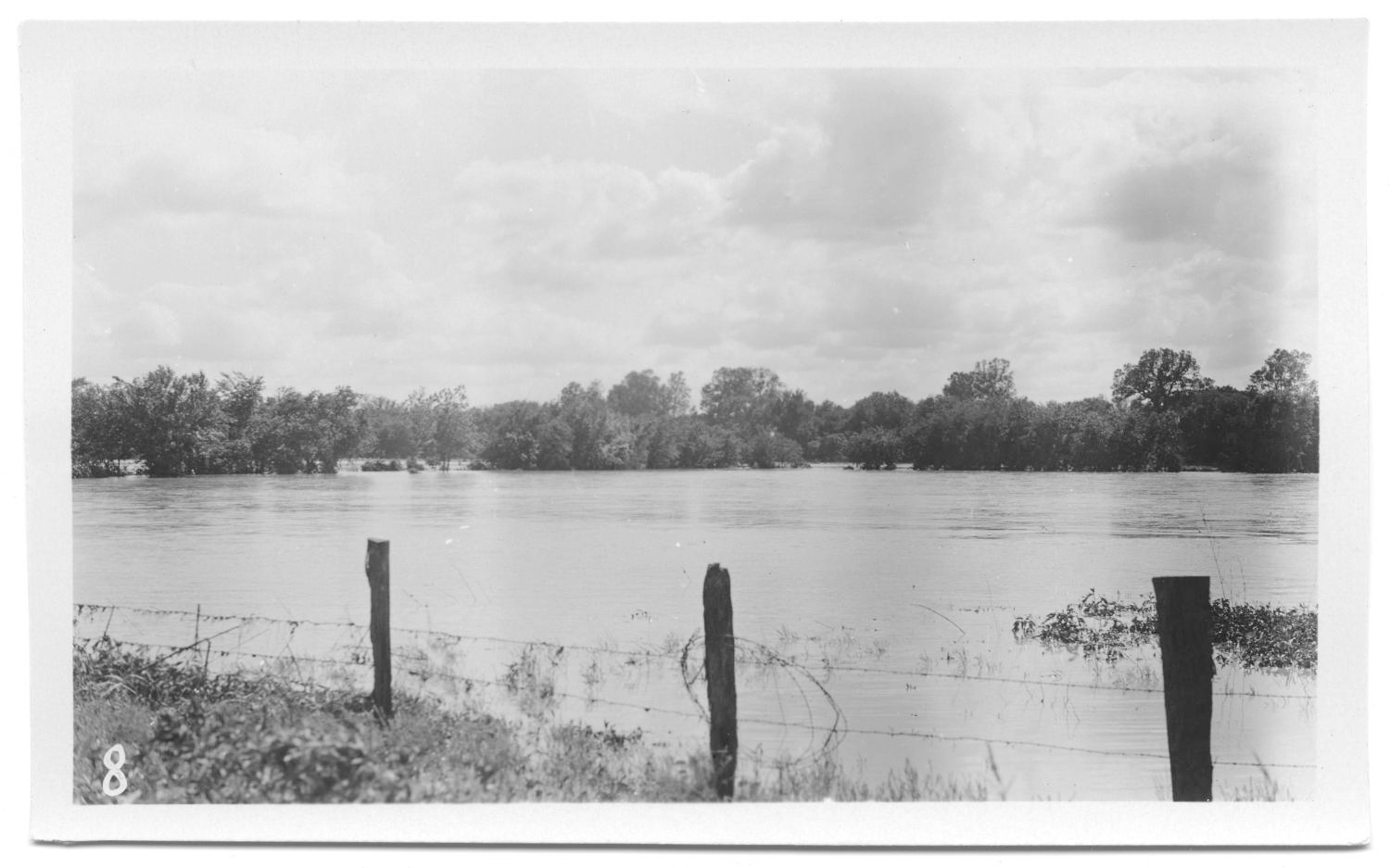
In 1940, the Trinity River watershed consisted of seven regions, six of which are shown on the map below (Fig. 1): West Cross Timbers, Grand Prairie, East Cross Timbers, Blackland Prairie, Coastal Flatwood, and Coast Prairie. Grapevine lay on the border between the East Cross Timbers and Blackland Prairie regions. As mentioned in the previous blog, flooding had caused critical soil erosion and devastating crop damage to farms in the Trinity River basin. The formation of the Texas soil conservation boards in late 1939 was intended to achieve and maintain good soil conservation practices, among which was flood control. It also allowed farmers to apply for federal funds to assist them in these endeavors. Preliminary reports pertaining to the proposed Dalworth district, of which Grapevine Mayor B. R. Wall would be a supervisor, demonstrated that soil and economic conditions there were better than anticipated but still in need of attention....
Recent Comments