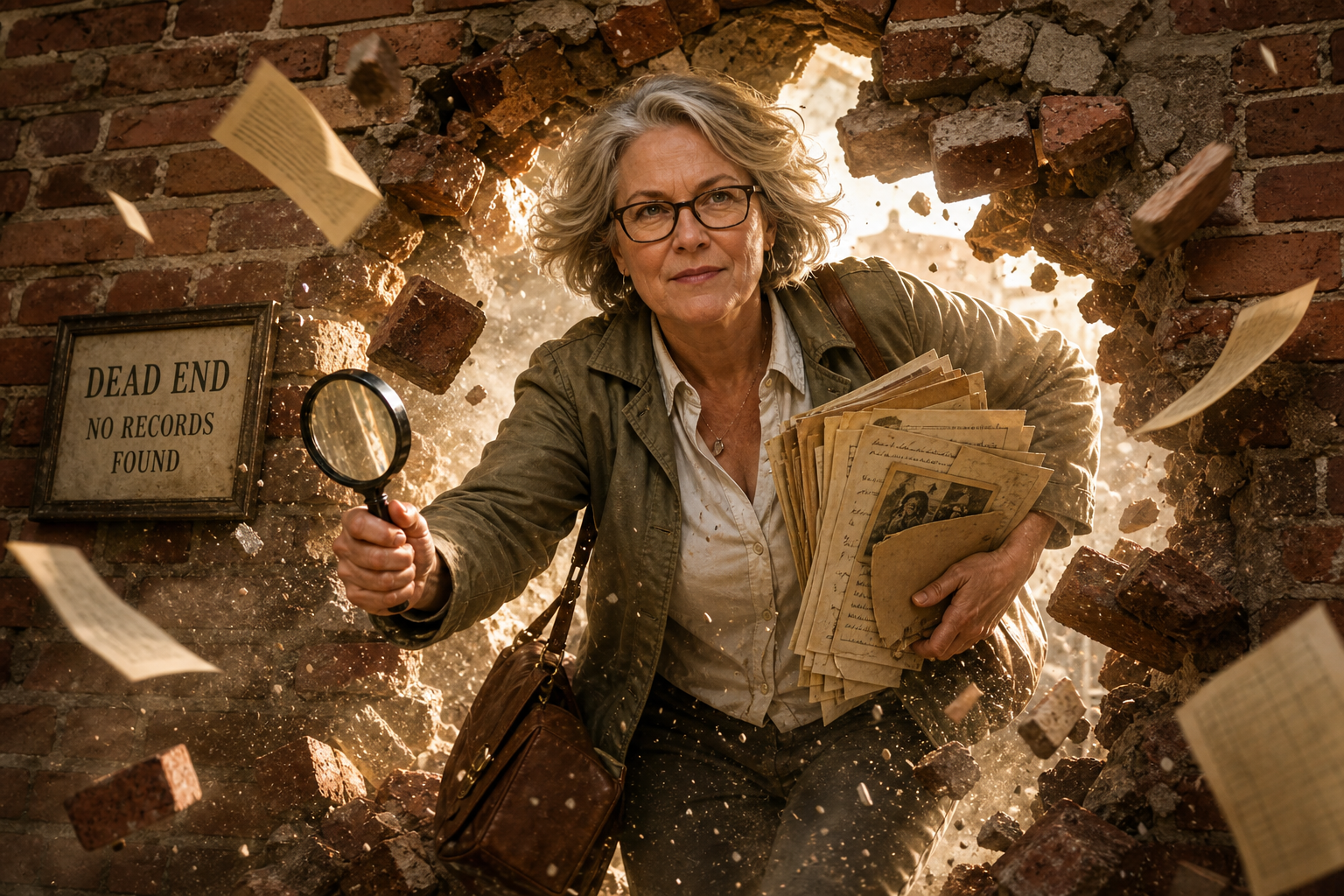
History of Grapevine Public Library, 1991-2001

Grapevine’s population grew to 31,836 in 1991. Library material holdings grew to 92,797 and annual circulation to 357,855. In February, Mrs. Marie Canning started part-time in Circulation. She eventually became full-time Acquisitions Assistant. In April, Grapevine Public Library’s automation system was upgraded from OCR labels and wands to bar code labels and laser guns. The re-labeling of over sixty thousand library materials and preparation of 30,000 borrower cards was accomplished in sixteen weeks with the help of eighty valued volunteers without closing the library. The Friends of the Library donated a Xerox plain-paper fax/copier, a Magazine Article Summaries (MAS) CD-ROM index to replace InfoTrac, and a plain-paper Minolta RP 605Z microfilm reader/printer from the proceeds of the annual Christmas ornament sale. Skaggs Alpha Beta cash register receipts worth two-hundred seventy-three thousand dollars collected by the public enabled the purchase of a MacIntosh computer and software. Due to community support and...

The Great Grapevine Road Fight, Part II

In January 1919, the Tarrant County Commissioners court designated twenty-three miles of the Grapevine Road to be maintained from the county’s part of automobile license revenue. The previous year $55,000 had been received but not yet spent, so soon there would be $100,000 in the county coffers for road maintenance. In March, the National Good Roads Association held its annual convention in Mineral Wells, Texas, and as part of the Texas delegation J. E. M. Yates and H. F. Saunders were appointed to represent Grapevine. The Road To Improvement Pushes Forward By the end of April a movement to call a good roads election, chaired by H. R. Wall, Commissioner of Precinct 3, was endorsed by over twenty-five Grapevine citizens at the Farmers National Bank. All but two attendees signed a petition favoring a bond issue to give Tarrant County the best possible roads. Commissioner Wall told the group that...

The Great Grapevine Road Fight, Part I

In today’s blog post we begin the colorful history of the road connecting Fort Worth to Grapevine in the latter part of the 19th century that went by several names, including Grapevine-to-Fort Worth Cardinal (main) Road, Cardinal Road, Grapevine Pike, Fort Worth-to-Grapevine Road, and eventually, State Highway 121. By whatever name it was called, the road to its completion was far from smooth. Although Grapevine’s growth as a town included the development of its internal infrastructure, the transportation network beyond the township limits remained a significant problem throughout much of the historic period. Finally in 1884 a commission was appointed in Fort Worth to establish the alignment of four main (cardinal) roads in Tarrant County heading north, south, east, and west from Fort Worth. One of the results of the commission’s planning activities was the construction of the sub-cardinal Grapevine Road running northeast from Fort Worth. A sub-cardinal road is...

The Internet Archive for Genealogists

History of the Internet Archive The Internet Archive (https://archive.org) is a non-profit that is building a digital library of Internet sites and other cultural artifacts in digital form. It provides free access to researchers, historians, scholars, people with print disabilities, and the general public. Their mission is to provide Universal Access to All Knowledge. The Archive began archiving the Internet in 1996 It now has over twenty-three years of web history accessible through the Wayback Machine and partners with over one thousand and other partners to identify important web pages. It soon began providing digital versions of other published works. At this time it contains seven hundred thrity-five billion web pages, forty-one million books and texts, 14.7 million audio recordings (including two hundred forty thousand live concerts), 8.4 million videos (including 2.4 million television news programs), 4.4 million images, and eight hundred ninety thousand software programs. It pays to set...

The Taxman Cometh: Researching in Tax Records

‘Tax lists’ is a term used to describe personal property tax lists, tithables, poll lists, land tax lists, and rent rolls, to name a few. Broadly speaking, these lists indicate the amount and kind of property owned by the taxpayer. At face value they don’t seem to be very helpful for genealogists, but when we look a lot closer, we can see how important they can be. They can place people in a certain place at a certain time, indicate relationship of individuals in a household and their approximate ages, and are often the only documentation that an individual lived in a certain place at a certain time, especially someone who didn’t own land. Just because you didn’t own land didn’t mean you weren’t taxed! A couple of things to keep in mind regarding the importance of tax lists: The census taker came every ten years and often missed people....

Ancestors and the Weather

You may ask, “What does weather have to do with genealogical research?” The answer is, “A lot,” especially when you start asking yourself questions such as: Where did my ancestors go? When did they move? Why did they move there? The answers might have had something to do with the weather. Brief History of Historical US Weather Data Diverse resources exist for climatological research that can add dimension and understanding to your family history. Unfortunately, historical weather data does not exist for every locale in the US. The National Archives holds records for hundreds of observatories concerned with recording scientific data about the weather, but they are not online. The federal government began taking an interest in the weather in 1818 when it directed employees of the Office of the Surgeon General to keep diaries on the weather. In 1870, responsibility of recording weather data was transferred to the Office...

Origin and History of Lake Grapevine, 1919-1953, Part 7: A New County Lake Is Born

Icy weather hit the dam area on January 5, 1950, temporarily halting construction. J. W. Mosley was just a week away from finishing the raising of the dam’s embankment, but since most contractors were ahead of schedule, the weather would not affect their deadlines. On January 18, the government hiked its land purchases for the four Trinity lakes going in near Dallas. At that time it already owned 2,955.53 acres of Grapevine. The “taking lines,” or peak elevations at which the government will take lands, had still not been announced, so the army of speculators and land plungers would have to buy blindly, except for studying the pattern of lands taken by the government. Those persons were chiefly interested in cabin and weekend homesites, recreating building locales and sites for all types of businesses catering to lake visitors. Costly lakeside estates planned by Dallas residents were also held up. More...

Origin and History of Lake Grapevine, 1919-1953, Part 6: Earth and People Start Moving

In the previous blog, we saw the preparations for the ground-breaking at the Grapevine Dam and Reservoir site on Denton Creek come together. Now that the ground had been broken, the effects of dam and reservoir construction slowly began to be felt among Grapevine’s approximately 1,800 residents. In this blog, we will see how a federal water and soil project impacted a small local population. Former Grapevine Mayor B. R. Wall was not present at the ground-breaking festivities on December 5, 1947, but he noted the event in his diary: “Damsite ceremony and barbecue ,, Did not attend ,, Began work on Grapevine Dam on Denton Creek. Do not care to comment herein.” On December 8 he wrote “Worried about Dam,” but did not elaborate. On December 23 he met with Carl Simmons and one of his brothers at the “north area of the Lake view,” but did not give...

Origin and History of Lake Grapevine, 1919-1953, Part 5: A Community Prepares and Construction Begins

As seen in Part 4, construction of the Grapevine Dam and Reservoir was initially scheduled to begin by late November 1947. Before that could happen, Grapevine’s leaders clearly stated that they did not intend to let their town become “a haven for honky-tonk operators, shanty dwellers or big-city gamblers” once the project was completed. Word was already circulating around town that big-time gambling interests and nightclub operators were eager to set up shop near the lakeshore and take advantage of Grapevine’s Main Street intersecting principal Highways 121 and 114, as well as the city’s proximity to Dallas and Fort Worth. David E. Box, president of Grapevine’s First National Bank, assured the public that Dallas investors were welcome, but Grapevine wanted more of those who already had more than $5,000,000 dollars invested in estates and well-improved farm and ranches within ten miles of Grapevine. He asserted that the right kind of...

Origin and History of Lake Grapevine, 1919-1953, Part 3: The Trinity River Project Goes To Washington

In 1940, the Trinity River watershed consisted of seven regions, six of which are shown on the map below (Fig. 1): West Cross Timbers, Grand Prairie, East Cross Timbers, Blackland Prairie, Coastal Flatwood, and Coast Prairie. Grapevine lay on the border between the East Cross Timbers and Blackland Prairie regions. As mentioned in the previous blog, flooding had caused critical soil erosion and devastating crop damage to farms in the Trinity River basin. The formation of the Texas soil conservation boards in late 1939 was intended to achieve and maintain good soil conservation practices, among which was flood control. It also allowed farmers to apply for federal funds to assist them in these endeavors. Preliminary reports pertaining to the proposed Dalworth district, of which Grapevine Mayor B. R. Wall would be a supervisor, demonstrated that soil and economic conditions there were better than anticipated but still in need of attention....