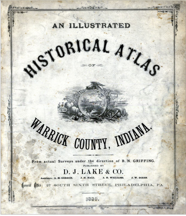
Historical County Atlases and Plat Books
Historical county atlases and plat books are bound volumes that include detailed maps of each township within a particular county. They contain maps of villages, cities, and county townships; a patron directory (those who contributed to the creation of the book); a reference business directory, illustrations, biographies, and a history of the county. They show property boundaries and land ownership for every parcel of land within a county. Besides physical features like rivers, roads, and hills, these maps showed schools, cemeteries, churches, railways, roads, and administrative boundaries. Each region had unique features; for example, some Wisconsin county atlases show locations of cheese factories. Physical features might offer reasons why residents chose to settle in a certain place. Since these books display property lines and owners as well as biographical information on some citizens, they can be extremely valuable to genealogists. County atlases and plat books contain cadastral maps. Cadastral maps...


Recent Comments