
Genealogy and The Great Depression
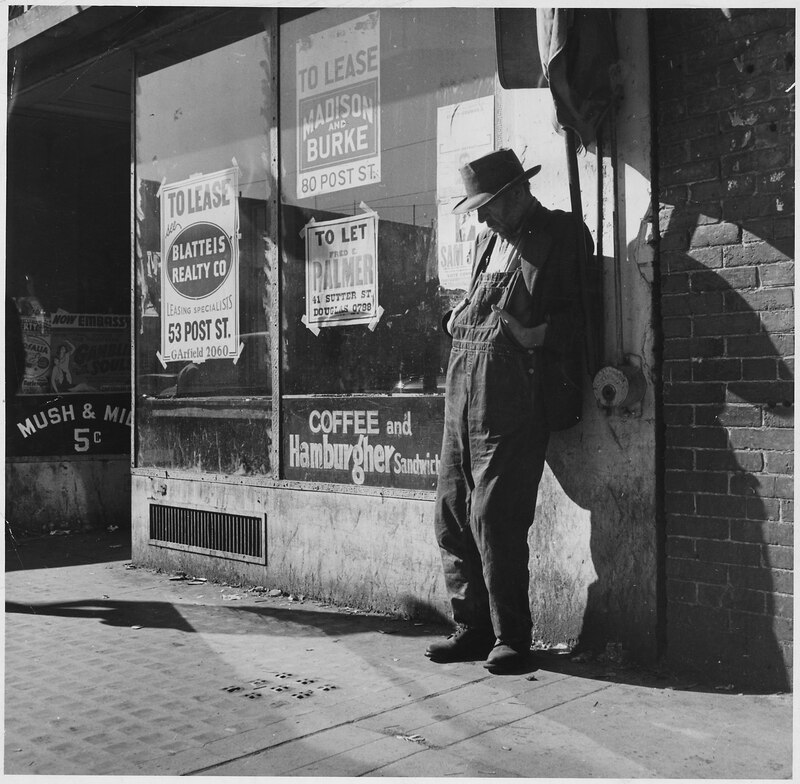
(Credit: U.S. National Archives and Records Administration, Public Domain, https://commons.wikimedia.org/w/index.php?curid=16629774) Oh, say, don’t you remember, they called me AlIt was Al all the timeSay, don’t you remember, I’m your palBuddy, can you spare a dime? Source: LyricFind – Songwriters: E. Y. Harburg / Jay Gorney – Brother, Can You Spare a Dime? lyrics © Songtrust Ave, Sony/ATV Music Publishing LLC US government responses to the Great Depression of the 1930s generated some unique resources for genealogists and family historians. Today we’re going to look into some genealogically valuable records generated as a result of President Franklin D. Roosevelt’s New Deal and see how they can be used to enhance family history research. We need to look for these records for two main reasons. First, the Depression was an all-encompassing event that changed family narratives. Second, how relatives responded to or weathered such a crisis formed an essential aspect of family history....


Recent Comments